Tropical Storm Debby is rapidly intensifying and is forecast to reach hurricane strength before making landfall in Florida’s Big Bend region. The storm’s trajectory and intensification are raising significant concerns for heavy rainfall and potential flooding across the Southeast, exacerbated by unusually warm waters in the Gulf of Mexico.
Storm Development and Current Status

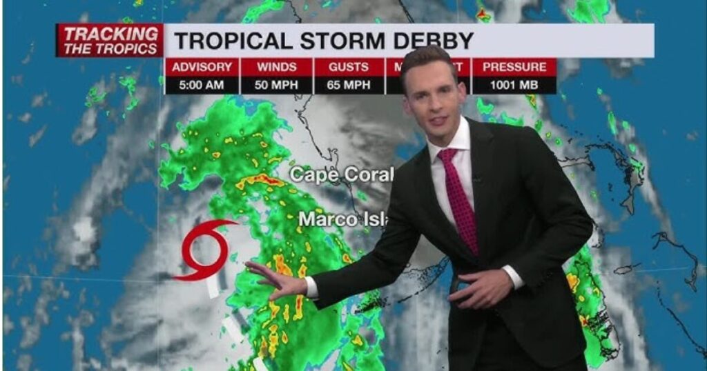
Debby, which was upgraded from a tropical depression to a tropical storm on August 4, is now approaching hurricane strength. The National Hurricane Center (NHC) reports that Tropical Storm Debby has sustained winds of 70 mph and is located approximately 100 miles west of Tampa, Florida. The storm is expected to become a Category 1 hurricane later Sunday night, with winds potentially increasing to 85 mph by landfall.
Rapid Intensification
Debby is anticipated to undergo rapid intensification, a phenomenon where a storm’s maximum winds increase by at least 35 mph within 24 hours. This intensification is fueled by exceptionally warm sea surface temperatures in the Gulf of Mexico. The NHC warns that Debby’s rapid strengthening could lead to significant impacts, including heavy rainfall and storm surge.
Impacts on Coastal Areas
- Rainfall and Flooding: The storm is projected to bring historic amounts of rain to the region, with cities like Savannah, Georgia, and Charleston, South Carolina, potentially receiving a month’s worth of rain in a single day. Total rainfall could exceed 30 inches in some areas, leading to flash flooding and significant river flooding.
- Storm Surge: The NHC forecasts storm surge heights of 6 to 10 feet along Florida’s Big Bend and 2 to 4 feet in coastal Georgia and South Carolina. This surge, combined with heavy rainfall, poses a severe flood risk.
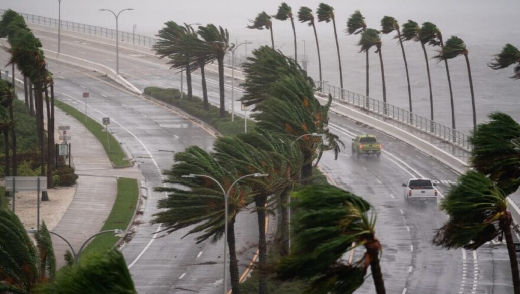
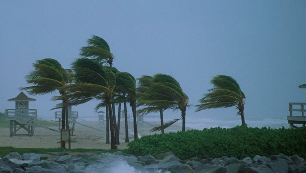
- Wind and Power Outages: Winds of 70-85 mph could lead to power outages and structural damage. Coastal regions should brace for high winds and possible tornadoes, with a tornado watch in effect for much of the Florida Peninsula and parts of southern Georgia.
Emergency Measures and Evacuations

Authorities across Florida, Georgia, and South Carolina are issuing mandatory and voluntary evacuation orders. Florida Governor Ron DeSantis, Georgia Governor Brian Kemp, and South Carolina Governor Henry McMaster have declared states of emergency, and Florida’s National Guard is on standby for humanitarian assistance and search and rescue operations.
Residents are urged to prepare for potential power outages and significant flooding. Sandbags are being distributed, and shelters are being set up for those in evacuation zones.
Climate Change and Future Risks
The intensification of Tropical Storm Debby is emblematic of broader trends linked to climate change. Warmer ocean temperatures and increased atmospheric moisture contribute to more severe tropical systems. Research indicates that climate change has intensified rainfall rates in tropical storms and hurricanes, increasing the risk of flooding.
Forecast and Preparedness
Debby is expected to reach the Big Bend region of Florida around midday Monday and then move across northern Florida and southern Georgia. The storm’s slow movement could lead to prolonged periods of heavy rain and flooding.
Residents in affected areas should stay informed through official weather updates, follow evacuation orders, and prepare emergency kits. Avoid traveling through floodwaters and monitor local advisories for the latest information on storm impacts and safety recommendations.
Conclusion Tropical Storm Debby
Tropical Storm Debby is shaping up to be a significant weather event with the potential for historic rainfall and severe flooding. The combination of rapid intensification, warm Gulf waters, and ongoing climate changes underscores the need for vigilance and preparedness. As the storm approaches, residents are advised to take all necessary precautions to ensure their safety and minimize damage.


